Arpitha Vinod [email protected]
Alice Liu [email protected]
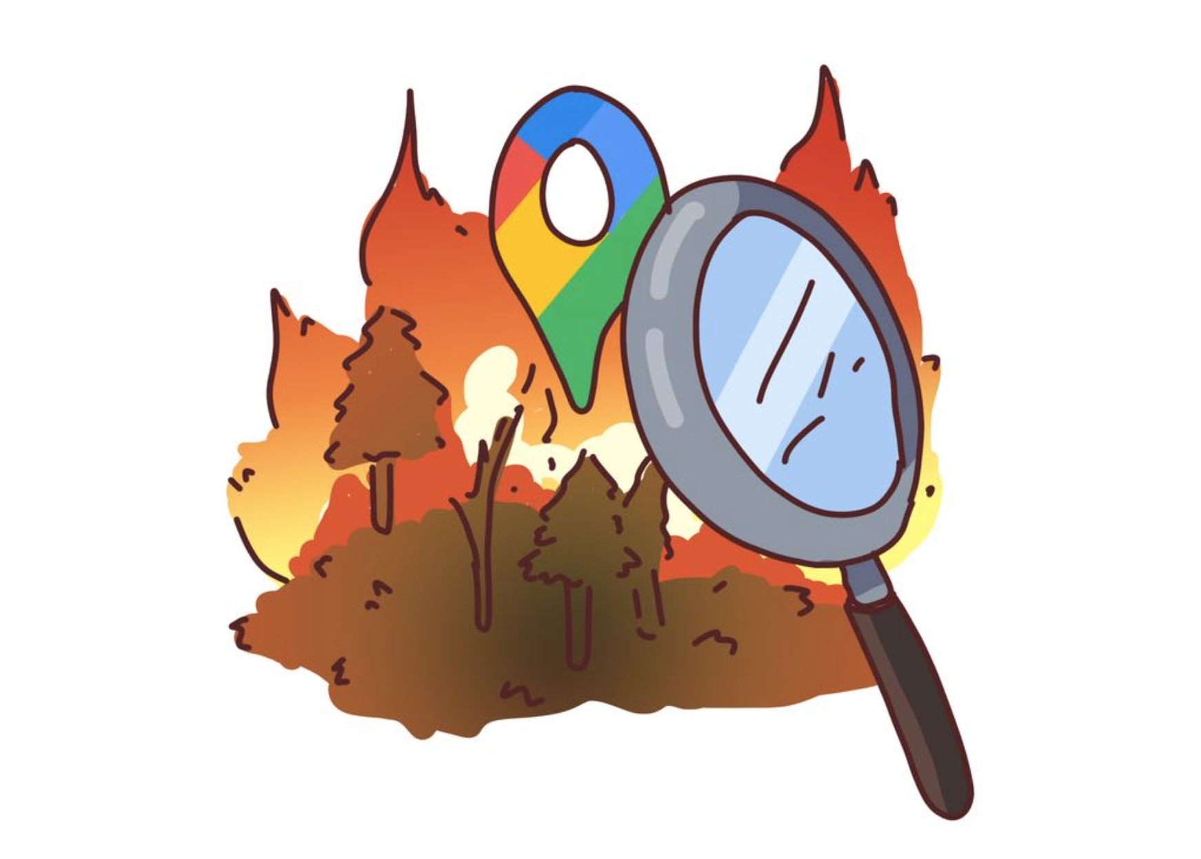
Unsure about the number of years in Neptune’s orbit? Google search. Unsure what business casual actually entails? Google search. Unsure whether you are driving right into a wildfire complex and are in fear of being trapped with no escape? Also Google search.
In the past week, the California wildfires have burned down around one million acres of land-- an area larger than Rhode Island. While the West Coast continues to suffer from these extremely damaging and widespread wildfires, Google released an update to its maps with a feature for identifying the fires’ boundaries.
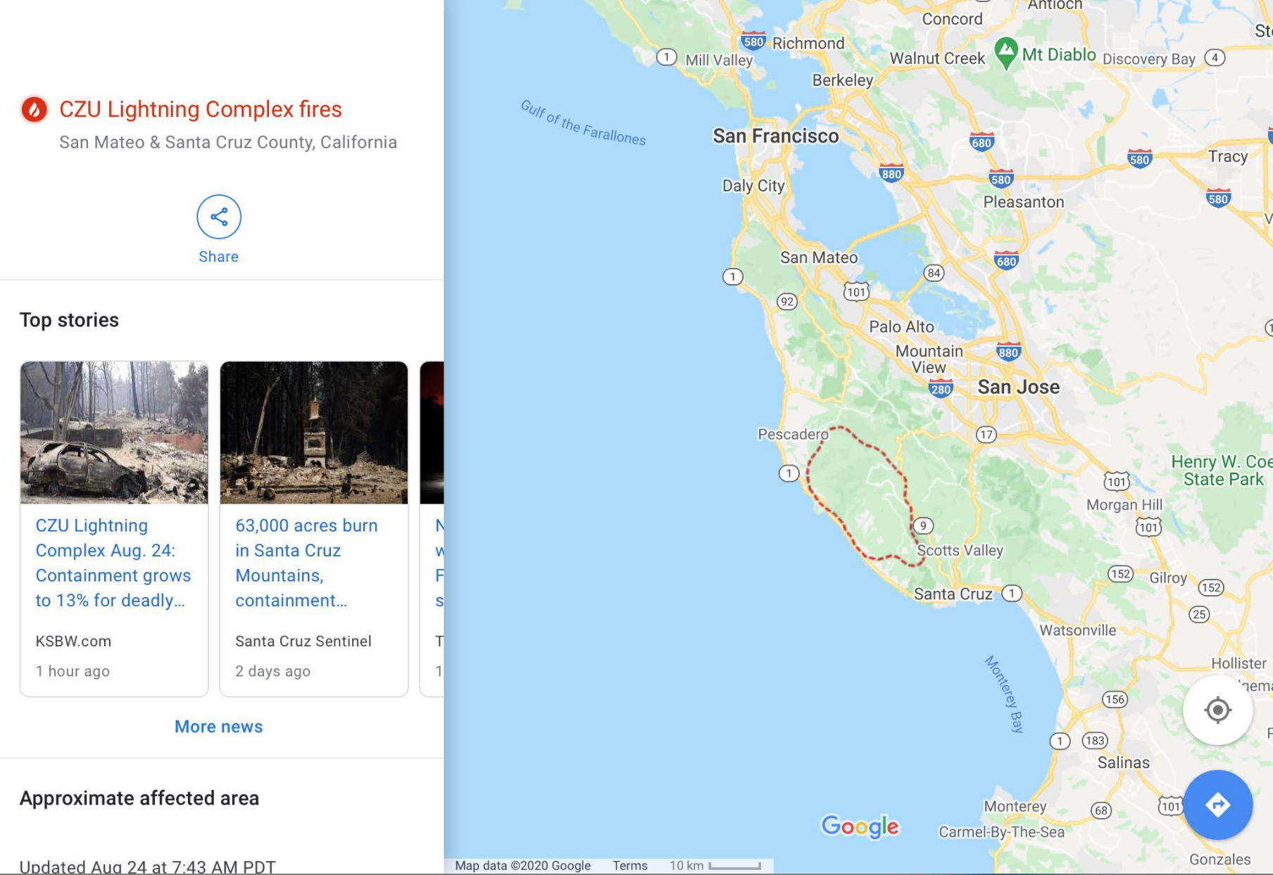
By simply typing in “CZU Lightning Fire” on Google, you will be brought to a three part module on Google Maps that shows the boundaries of the fire, safety tips regarding the fire, and evacuation information and resources. The map shows the boundary of the fire as red dashes, and updates it hourly. Google is also suppressing any advertisements from appearing when these types of emergency searches are done!
To map these fire boundaries, Google fetches most of the data from satellites run by the National Oceanic and Atmospheric Administration . These satellites are used to track weather patterns throughout the United States, and are geosynchronous-- they stay above fixed locations because they move accordingly with Earth’s rotation. There are infrared cameras on these satellites to detect hot spots on Earth , and Google Maps then runs its algorithms with these satellites to draw red lines on the map to signify the fire’s boundaries.
However currently, Google Maps does not predict the fires’ movements-- so you cannot be sure where the fire will spread to next just by looking at the map. While Google hopes to add this feature soon, right now they are mainly focused on detection , which is still essential.
It all started in 2010 when Yossi Matias, the Google Vice President of Engineering at the time was working at Google's office in Israel and the Mount Carmel Fire was occurring. His team could see smoke outside, but when they googled for more information, they only found what they could already assess from looking outside. Therefore, Google started to work on giving more curated information about emergency events.
This also led to the development of Google’s SOS feature on android phones in 2017, where notifications of emergencies happening nearby along with curated information and resources would pop up. This is the same feature that has also been sending out COVID-19 alerts throughout the year.
Nevertheless, there are many other apps out there that can notify users about fire emergency incidents, like PulsePoint and Citizen, and crowdsourced maps available that track wildfires and major weather events. However, Google as one of the most powerful databases in the world believes it can do a much better job and give out timely updates through its wildfire boundary mapping. While the fires on top of the pandemic in the West Coast are getting chaotic, it is calming to know Google has our back with a FIRE update.